EWP: 2012 Spring Experiment Summary
Working Hypotheses
- Operational meteorologists can provide valuable feedback of experimental severe weather warning decision-making products and displays which are being designed and tested as candidates for operations.
- Operational meteorologists get exposed to the latest research and development ideas when immersed in a collaborative environment, and can carry that information back with them to share with their peers in the operational world.
- Researchers and technology specialists can gain a better understanding of the operational requirements of the severe weather warning forecaster if they work closely with them during real-time warning exercises in a testbed setting.
Specific Objectives
Research Perspective
- To work with GOES-R Proving Ground and collaborators in the development and testing of baseline and potential future satellite products.
- To work with NSSL and CAPS scientists on the development of Warn-On-Forecast very short-term model guidance and the assimilation packages that will be a part of it.
- To work with Warning Decision Training Branch trainers on the development of best practices for the use of experimental research products designed for transition to operations.
Operational Perspective
- To evaluate the operational utility of Warn-on-Forecast 3DVAR real-time multiple-radar data assimilation technology to determine the potential operational impacts of these data on the WFO nowcast and warning decision process. The products include 3D wind field, vorticity, updraft strength, updraft helicity, and reflectivity.
- To evaluate the model performance and forecast utility of the Norman NWS office’s custom Weather Research and Forecasting model (OUN WRF) when WFO operations are expected in the Southern Plains, to assess the utility model for the purpose of forecasting initiation, mode, and dissipation of severe convective storms and to subjectively determine the forecast value of adding high-resolution model output to the suite of tools available in an operational warning environment.
- To evaluate the operational utility of experimental applications intended for the GOES-R satellite platform on the WFO nowcast and warning decision process., including convective initiation products, total lightning data, prior to the launch of the observing platform.
- To evaluate the new AWIPS2, being used for the first time in the testbed.
- To identify best practices for using experimental products in nowcast and warning decision making and identifying appropriate display strategies within AWIPS2.
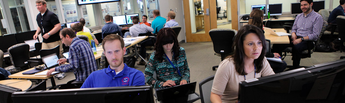
Participants
- NWS WFO: 19
- NWS CWSU: 5
- NWS WDTB: 5
- AFWA: 1
- International: 3 (Canada, Germany)
- Academia: 12
Preliminary Results
- 3DVAR
- The forecasters found the vertical vorticity, storm-top divergence, and updraft products the most useful for storm interrogation and quickly visualizing storm trends, often using these tools increase the confidence in a warning decision and/or issue the warning slightly earlier. The addition of AWIPS-2 during the 2012 experiment also allowed forecasters to overlay 3D wind vectors, barbs, or streamlines on other 3DVAR or radar products at multiple levels from near the surface to storm-top. The largest hurdle for realtime use of 3DVAR or similar data assimilation products by forecasters is the data latency, as even 3-5 minutes reduces the utility of the products when new radar scans are already available.
- OUN WRF
- Great for overall convective mode/pattern.
- GOES-R
- Cloud-top-cooling is a good product to allow for short-term heads up message for downstream areas.
- SimuSat gives a good first look at overall convective initiation on broader scale.
- PGLM
- Useful product maps density of IC lightning activity and can give precursor to storms that have potential CG activity.
- Good for lightning safety, especially for large venues.

Maximum vertical velocity (LEFT) and two-dimensional wind vectors with mosaic reflectivity at 1.5 km MSL (RIGHT) products from a real-time dynamically-adaptive three-dimensional variational data assimilation (3DVAR), for the May 16, 2010 hail storm in Oklahoma City. [+]
Maximum vertical velocity (LEFT) and two-dimensional wind vectors with mosaic reflectivity at 1.5 km MSL (RIGHT) products from a real-time dynamically-adaptive three-dimensional variational data assimilation (3DVAR), for the May 16, 2010 hail storm in Oklahoma City.
Payoff
- The use of AWIPS2 in the HWT was a success. This now means the HWT could be used to host a variety of new AWIPS2 risk reduction efforts across the NWS.
- The “Tales of the Testbed” weekly Webinars reached large national audiences in the NWS, and have increased the visibility of the warning R2O efforts.
- The new CWSU participants were able to use the EWP experimental products to determine how they can further mitigate hazardous weather impacts to aviation and support the safe and effective flow of air traffic.
Related Publications
- Calhoun, K. M., T. M. Smith, J. Gao, D. M. Kingfield, and C. Fu, 2012: Realtime 3DVAR Analyses and Evaluation for use in Warning Decisions in the Hazardous Weather Testbed. Extended Abstracts, 26th Conf. on Severe Local Storms, Nashville, TN, Amer. Meteor. Soc. , 3.5.
- Goodman, S. J., and Coauthors, 2012: The GOES-R Proving Ground: Accelerating User Readiness for the Next-Generation Geostationary Environmental Satellite System. Bull. Amer. Meteor. Soc., 93, 1029–1040.
- Goodman, S. J., J. J. Gurka, T. J. Schmit, W. F. Feltz, J. R. Mecikalski, C. W. Siewert, K. M. Kuhlman, and G. T. Stano, 2012: The GOES-R Proving Ground: Demonstrating Future Products to Aid Severe Local Storm Forecasting. Extended Abstracts, 26th Conf. on Severe Local Storms, Nashville, TN, Amer. Meteor. Soc., 3.6.
- Hartung, D. C., J. M. Sieglaff, L. M. Cronce, and W. F. Feltz, 2012: An Inter-Comparison of UWCI-CTC Algorithm Cloud-Top Cooling Rates with WSR-88D Radar Data. Submitted to Wea. Forecasting.
- Stumpf, G. J., T. M. Smith, A. Anderson, D. Andra, K. M. Calhoun, J. Gao, G. Garfield, D. M. Kingfield, E. Mahoney, C. Payne, C. W. Siewert, 2012: The Experimental Warning Program’s 2011 and 2012 spring experiments at the NOAA Hazardous Weather Testbed. Extended Abstracts, 26th Conf. on Severe Local Storms, Nashville, TN, Amer. Meteor. Soc., 3.4.